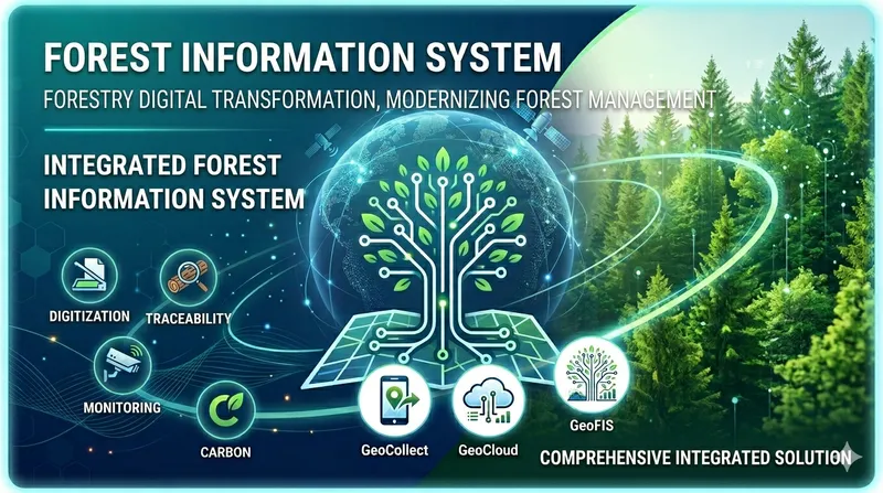
TLGeo Geocollect ranks among top EUDR assessment tools in the independent report on tools for collecting deforestation data supporting EUDR adaptation in Vietnam.
Reference links:
📋 This is an independent and objective assessment report.
Report overview
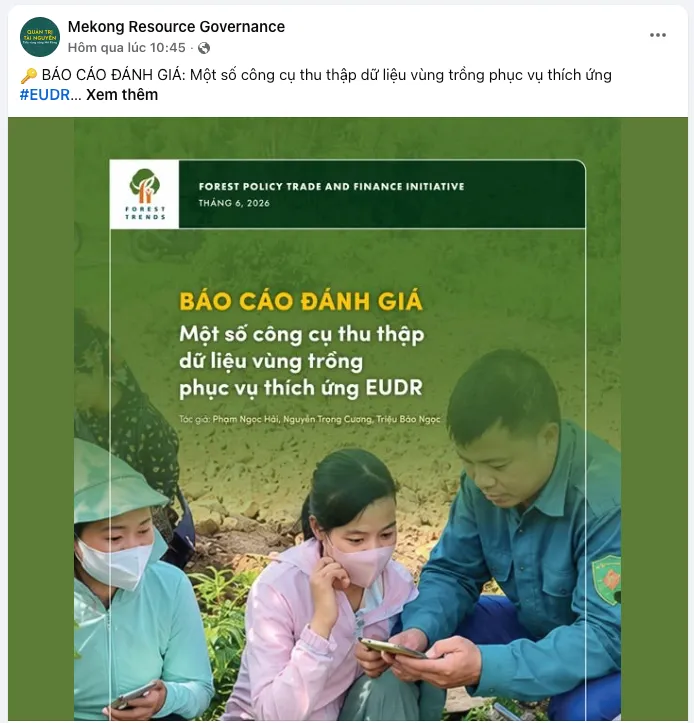
🔑 ASSESSMENT REPORT: A number of tools for collecting deforestation data supporting EUDR adaptation
Today there are many tools available to collect deforestation data. However, choosing a tool that ensures information security, fits local conditions, and most importantly meets EUDR requirements is a difficult challenge for local-level managers.
This report evaluates 8 popular tools currently used in Vietnam, based on the following criteria:
- 🌿 Data storage and management
- 🌿 Data security, safety, and privacy
- 🌿 Customization capability and EUDR compliance
- 🌿 Suitability for target users
- 🌿 Data integration capability
- 🌿 Operational and usage cost
- 🌿 Developer/vendor
- 🌿 Other technical factors
GeoCollect in the report
Overview
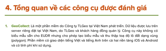
GeoCollect is software developed by TLGeo Company in Vietnam. Data is stored on a private server located in Vietnam, co-managed by TLGeo and customers. The tool does not have a pre-built EUDR template but allows users to create custom templates and collect land plot coordinates as polygons. The software has Vietnamese and English interfaces on both iOS and Android platforms and is a paid tool.
Assessment criteria
1. Developer organization
- TLGeo Company
- Headquarters: Hanoi, Vietnam
2. Data storage and management (server)
- Data is stored and managed on TLGeo’s server in Vietnam.
- Users can request TLGeo to migrate collected data to a private server located within the country.
- However, the data backup policy (storage, data backup) and access management are not yet publicly clarified.
3. Compliance with Vietnamese law on data security, safety, and privacy
- TLGeo can commit to data security upon customer request.
- No public information on data security is available.
4. EUDR compliance and customization capability
- No dedicated template for EUDR data collection. However, the tool allows creating and customizing templates based on user needs.
- Capable of collecting closed-polygon land plots.
- The tool supports saving data on mobile devices, exporting to personal computers, syncing to server, and retrieving data back from server.
5. Usability for different user groups
- Language: Vietnamese
- User-friendly interface for diverse user groups
- Works on Android and iOS platforms
6. Integration with existing systems
- Export formats: GeoJSON, KML, Shapefile
- Collected data converts well to other management platforms and is compatible with processing and reporting software like QGIS, ArcGIS, traceability systems, and other thematic/specialized map systems when needed.
7. Operational and usage cost
- Free for 2 months after registration. After that, the cost per account is 500,000 VND/year or 1.5 million VND lifetime.
- If data is stored on TLGeo’s server, the developer company provides a full-package remote sensing service.
8. Other noteworthy issues
- The tool integrates offline Google basemaps and many other built-in features related to forest resources (fire points, drone flight paths…) and many search support functions.
About Geocollect
Geocollect is a geographic data collection app developed by TLGeo, allowing you to:
- 📱 Collect field data on mobile (iOS/Android)
- 🗺️ Draw and collect land plot polygons directly on the map
- 🔄 Sync data to server, export GeoJSON/KML/Shapefile
- 🛠️ Create custom forms for any data collection purpose
- 🌍 Multilingual support (Vietnamese/English)
See details at the Geocollect product page.